Day 4: Wulaia Bay / Cape Horn
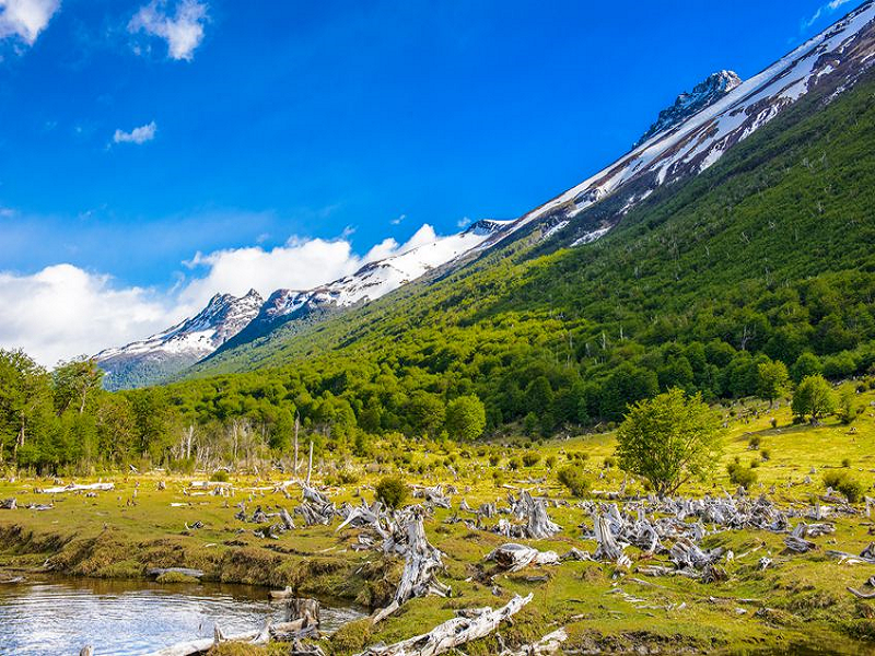
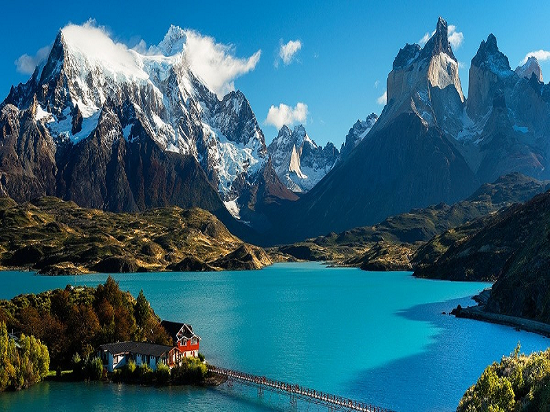
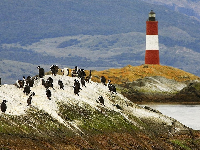
In the pre-dawn hours, the ship will pass through the narrow Murray Channel between Navarino and Hoste Islands and anchor in historic Wulaia Bay — one of the few places in the archipelago where human history is as captivating as the natural environment. Originally a major settlement of the Yámana people, the bay was described by Charles Darwin and drawn by Captain FitzRoy during their 1830s voyage on the HMS Beagle.The area is also renowned for its striking landscapes. After visiting the museum in the old radio station building (supported by Australis), which highlights the history of the Yámana people and European missionaries, travelers may choose one of three hiking routes of varying difficulty, ascending the forested hill behind the bay. All trails pass through enchanting Magellanic forest of lenga, coigüe, canelo, ferns, and other endemic flora, leading to a viewpoint overlooking the bay.Before departing Wulaia Bay, drop letters or postcards into the wooden mailbox inside the museum — intended for future travelers to deliver by hand, following an old maritime tradition revived by Australis. In the afternoon, the ship crosses Nassau Bay to a remote archipelago, including Cape Horn National Park. Weather permitting, it may be possible to land on the windswept island that hosts the legendary Cape Horn (Cabo de Hornos). Discovered in 1616 by a Dutch expedition and named after the town of Horn in Western Friesland, Cape Horn is a sheer 425-meter (1,394 ft) rock cliff towering over the turbulent waters of the Drake Passage. For many years, it was the only passage between the Pacific and Atlantic Oceans and was often called the “End of the World.” In 2005, the area was declared a UNESCO Biosphere Reserve. The Chilean Navy maintains a permanent lighthouse on the island, where a keeper and family live, along with a tiny Stella Maris chapel and a modern Cape Horn monument.
.png)